Reading a wildfire from the air
An AI project combines aerial imagery, weather and terrain to help predict how fires may move next.
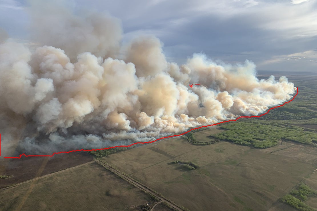
TankerVision uses colour and infrared cameras on firefighting aircraft to segment flames, smoke and ground in aerial footage. The model then combines those observations with terrain, weather and wind.
The team logged 50 fires last season and hopes to capture more than 100 this year. The practical aim is not spectacle; it is better information for directing resources and ordering evacuations.
Sources 1
Chapter 03 · Science & TechnologyRead it in the issue →