CanopyFit brings heat, equity and physical barriers into the same question: where can a new tree do the most good?
From news.ubc.ca
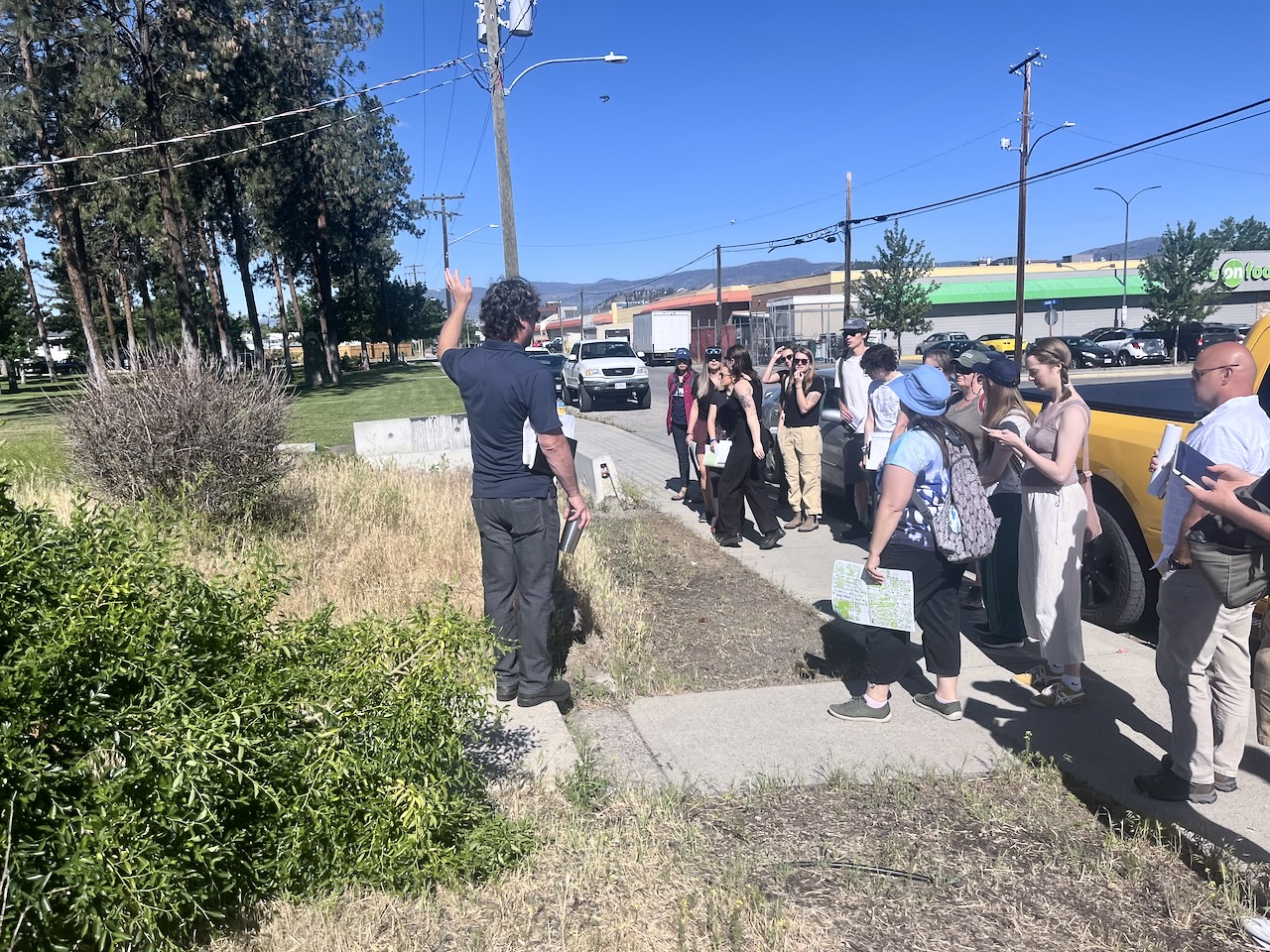
CommunityA UBC tool called CanopyFit is designed to help cities place trees with more precision. Instead of treating canopy as an even layer, it combines heat and equity data with the physical constraints that determine where planting is actually possible. That changes the planning problem. The best site is not simply an empty patch on a map; it is a place where cooling, access and feasibility overlap. The tool gives municipal teams a way to see those trade-offs together. For alumni living in growing cities, the idea is tangible: a greener street is also an argument about who gets comfort, shade and public investment.Photo: UBC
Where the work begins
CanopyFit brings heat, equity and physical barriers into the same question: where can a new tree do the most good?
What follows
Further reporting continues across the university network.
At a glance
Campus: UBC Vancouver & Okanagan (Point Grey & Kelowna)
Alumni Digest is independent and is not an official University of British Columbia publication. Stories summarize the public reporting linked under each piece; photographs belong to the credited sources and remain under rights review.